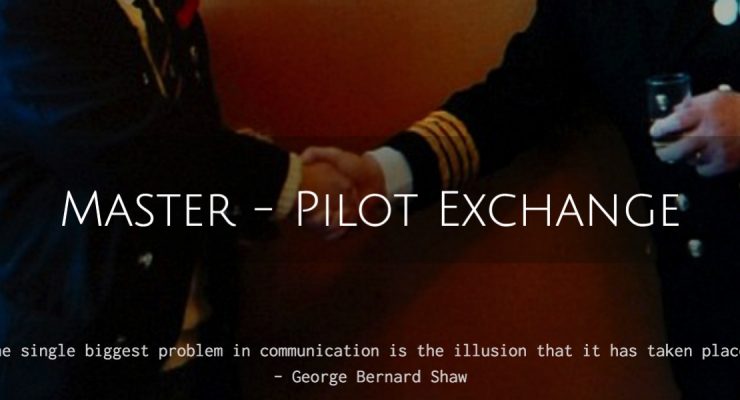
It is a given fact that invariably pilotage is compulsory and the majority of accidents occurring during berthing occur with a pilot on the bridge. No berthing guide would be complete without reference to the master-pilot relationship.Pilotage Why are Pilots engaged? For their expertise in navigating in close proximity to land in narrow channels. For their ability to anticipate accurately the effects of currents and tidal influences. For their understanding of local traffic. For their ability to work effectively with the local VTS. For their language ability when … [Read more...]
Vessel Traffic Service (VTS) – Purpose, Organisation and its components
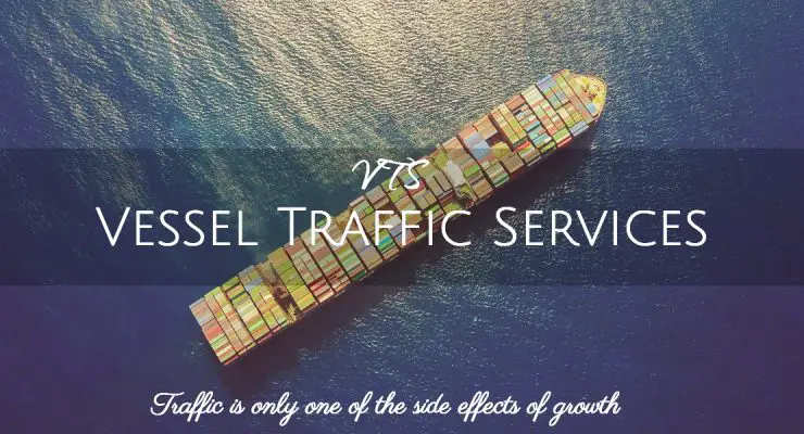
Purpose Vessel Traffic Service or VTS is a shore-based system implemented by a competent authority to:Improve the safety and efficiency of navigation, Safety of life at sea, and Protection of the marine environment.VTS is governed by SOLAS Chapter V Regulation 12 together with the guidelines for Vessel Traffic Services [ IMO Resolution A.857(20) ] adopted on 27 November 1997.A Vessel traffic image is compiled and collected by means of advanced sensors such as radar, AIS, direction finding, CCTV and VHF or other cooperative system services. A modern VTS integrates all … [Read more...]
Circumpolar bodies
For a body to be circumpolar, the body should always be above the rational horizon i.e the body should not set. Therefore, a circumpolar body will have upper transit (upper meridian passage) which is above the elevated pole and lower transit (lower meridian passage) which is below the elevated pole.Condition required for a body to be circumpolar:Lat + Dec > 90° (For the body not to set)Latitude and declination should be the same name.1. North Latitude - Lat < Dec2. North Latitude - Lat > Dec3. South Latitude - Lat < Dec4. … [Read more...]
Twilight
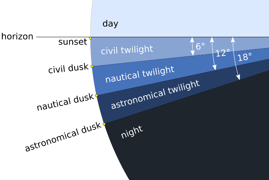
Twilight is the light received from the sun, when the sun is below the horizon, i.e. before the sunrise and after the sunset.Twilight completely ceases in the evening, when the sun is 18° vertically below the horizon. After that, there is total darkness.In the mornings, twilight commences when the sun is 18° vertically below the horizon and ceases at sunrise.The entire period of twilight has 3 stages, Civil, Nautical and Astronomical.Astronomical commences when the sun is 18° below the horizon.Nautical - 12° below the horizon.Civil - 6° below the … [Read more...]
Rising and Setting of Celestial Bodies

As the Earth rotates on its axis from west to east, all heavenly bodies appear to rise in the east, move westwards, gaining in altitude until it is on the observer's meridian (culminate or transit the meridian). After culmination, it continues to move westwards decreasing in altitude till it sets over the western horizon.For a stationary observer, the interval between rising and culmination of a body will be equal to the interval between its culmination and setting, provided its declination remains unchanged.Also under the same circumstances, its amplitude at rising will be equal to … [Read more...]
IALA Buoyage System
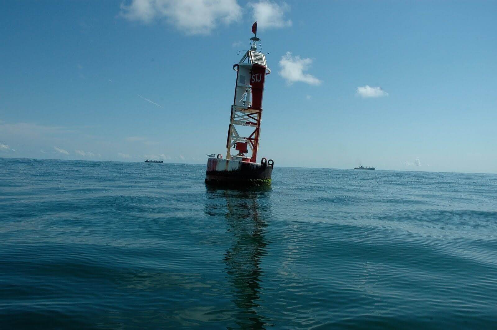
The International Association of Marine Aids to Navigation and Lighthouse Authorities (IALA) is a non-profit organization founded in 1957 to collect and provide nautical expertise and advice.• Lateral marks indicate the edges of a channel.• Cardinal marks indicate the direction of safe water at a dangerous spot.• Safe water marks indicate the deep water and open end of a channel.• Special marks indicate administrative areas, such as speed restrictions or water skiing areas.• Isolated danger marks indicate a hazard to shipping. Lateral MarksRegion A Region A comprises … [Read more...]
Solar system and Kepler’s law of Planetary Motion
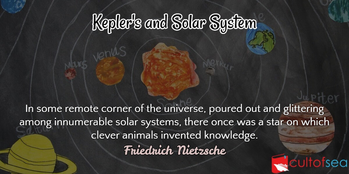
Solar systemConsists of the Sun, the planets, the planetary satellites, asteroids, comets and meteors. Sun has a dia (865,000 miles) of more than 700 times larger than all the other bodies taken together. It is the only body of the solar system which radiates light. It rotates about its own axis, completing one rotation in about 25 days. There are eight non-luminous planets which we see only because they reflect light and they exhibit phases like the moon. In order of distance from the sun, they are Mercury, Venus, Earth, Mars, Jupiter, Saturn, Uranus and Neptune. Between … [Read more...]
Amplitude
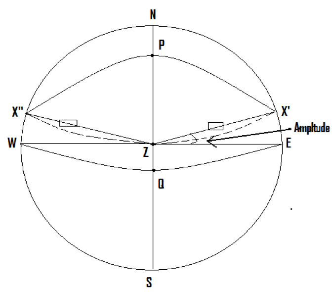
The Amplitude of a body is the angle at the observer’s zenith or the arc of his rational horizon contained between the observer’s prime vertical and the vertical circle through the body, at theoretical rising or setting.When observing the amplitude of a body, its centre should be on the rational horizon, that is, its true altitude should be exactly 0° which implies that its zenith distance will be exactly 90°. Amplitude is measured from the observer’s prime vertical, as shown in the figure, and not from the observer’s meridian.Amplitude is therefore named from … [Read more...]
Passage Planning
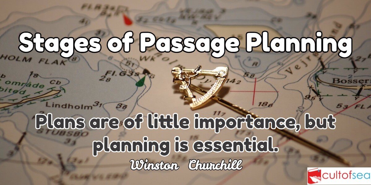
When the Master gets the nomination of the next port, he communicates this information to the navigating officer of the ship. On hearing this, how the navigating officer proceeds to plan the passage, is precisely the coverage of this article.Research into shipping casualties has shown that the most important contributing factor is that of human error, 85% to be more precise.Among the recommendations for improving this situation is one for passage planning. A good passage planning means taking the vessel from A to B in the safest and shortest way. The concept of passage planning is not … [Read more...]
Ship’s Routeing – Organize and Improve Shipping Movement
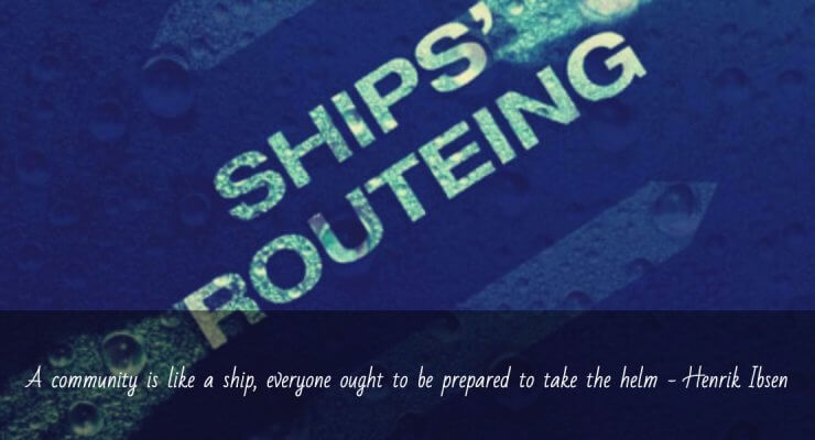
The Purpose The purpose of ship's routeing is to improve the safety of navigation in converging areas and in areas where the density of traffic is great or where freedom of movement of shipping is inhibited by restricted sea room, the existence of obstruction to navigation, limited depths or unfavorable meteorological conditions. Objective: The objectives of any routeing system will depend upon the particular hazardous circumstances which it is intended to alleviate, but may include some or all of the following:1. The separation of opposing streams of traffic so as to reduce the … [Read more...]