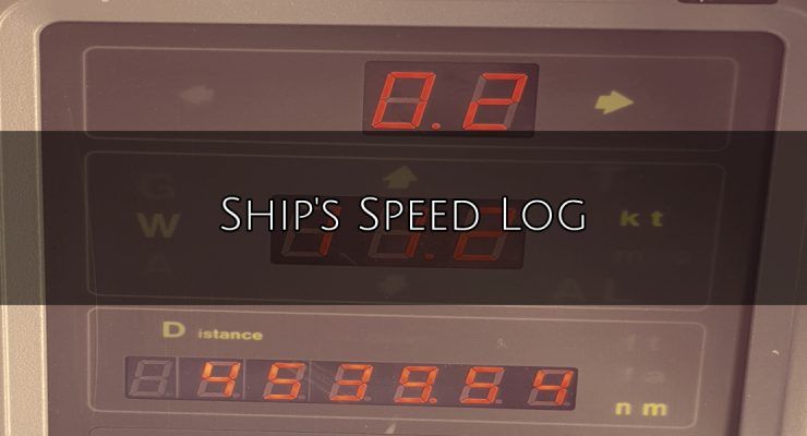
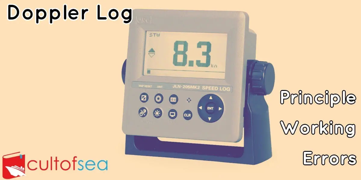
An instrument for measuring the speed of a ship through water is called a ship's, or maritime, log. The same word is also applied to the daily record of a ship, though it is more properly termed a logbook. History In the years of sailing ships, the Dutchman's log was an early method of calculating ship speed. An object that would float was thrown into the water near the forward part of a ship. In the after, or rear, section, a sailor with a sandglass noted the time taken for the ship to pass the object floating in the water. From the time and the known distance between the two points on the … [Read more...]
The Marine Chronometer
The spring-driven marine chronometer is a precision timepiece used aboard ship to provide accurate time for celestial observations. A chronometer differs from a spring-driven watch principally in that it contains a variable lever device to maintain even pressure on the mainspring, and a special balance designed to compensate for temperature variations.A spring-driven chronometer is set approximately to Greenwich mean time (GMT) and is not reset until the instrument is overhauled and cleaned, usually at three-year intervals.The difference between GMT obtained directly from a radio time … [Read more...]
Ship’s Magnetic Compass – Dry and Wet Compass with their care, maintenance and bubble removal
As per Chapter V of SOLAS 74, as amended, a magnetic compass is a compulsory part of the shipborne navigational equipment. This is in addition to the gyro compass & suitably placed repeaters on the ship. This is so primarily because of the reliable dependence one can place on the magnetic compass, as a standby compass in the event of failure of electrical power on board. The regulation also stipulates that the magnetic compass should be properly adjusted and a table or curve of deviations is available on board at all times.Our intention is only to give you a brief description and … [Read more...]
Gyro Compass – Basic Principle, Operation and Usage on Ships
Gyro Compass is a navigational compass containing gyroscope motor that registers the direction of true north along the surface of the earth and it does not depend on magnetism. or A compass with a motorized gyroscope whose angular momemtum interacts with the force produced by the earth's rotation to maintain a north-south orientation of the gyroscopic spin axis, therby providing a stable directional reference. The Principle of Gyroscope A gyroscope consists of a spinning wheel or rotor contained within gimbals which permit movement about three mutually perpendicular axes, known as the … [Read more...]
The Aneroid Barometer and How to use it…
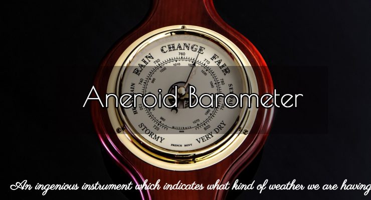
A barometer is an instrument for measuring the pressure of the air, due to the weight of the column of air above it. As the earth’s atmosphere gets thinner with increasing height, it follows that as we ascend from sea level and low-lying parts of the earth’s surface, the weight of the air will decrease. That is, the pressure will fall.An ordinary clock face type barometer placed in your car will give an estimate of the changes in altitude as you drive through the country. If we use rough figures, we can say that the reading decreases by three hectopascals for each twenty-five … [Read more...]
Magnetic Compass & Ship Magnetism – Simplified Explanation
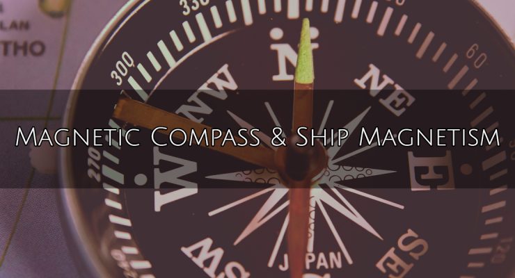
The Ship’s Magnetic Compass The principle of the present day magnetic compass is in no way different from that of the compass used by the ancients. It consists of a magnetised needle, or array of needles pivoted so that rotation is in a horizontal plane.The superiority of the present day ship’s compass results from :better knowledge of the laws of magnetism which govern the behaviour of the compass, greater precision in the construction of compass & binnacle including correctors, better means to control damping of the compass needle.A properly adjusted ship’s compass … [Read more...]
Bridge Navigational Watch Alarm System (BNWAS)
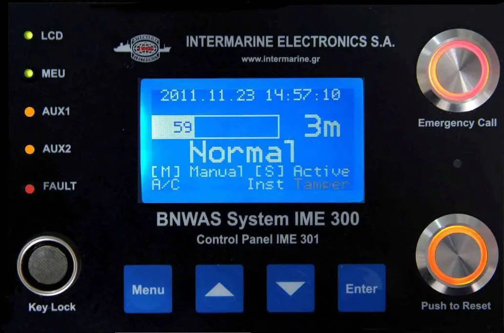
The purpose of a bridge navigational watch alarm system (BNWAS) is to monitor bridge activity and detect operator disability which could lead to marine accidents. The system monitors the awareness of the Officer of the Watch (OOW) and automatically alerts the Master or another qualified OOW if for any reason the OOW becomes incapable of performing the OOW’s duties.This purpose is achieved by a series of indications and alarms to alert first the OOW and, if he is not responding, then to alert the Master or another qualified OOW. Additionally, the BNWAS may provide the OOW with a means of … [Read more...]
AIS (Automatic Identification System)
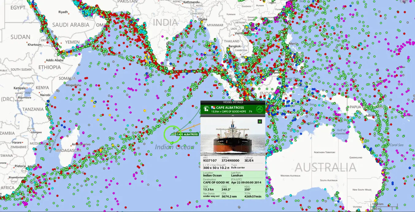
The Shipborne Automatic Identification System (AIS) is a vessel tracking system capable of communicating navigation information automatically between AIS equipped vessels and coastal authorities. It is a collision avoidance system that gives information all the ships in your area, their speed and courses and how to contact them (name, callsign, MMSI). This information is publically broadcast on VHF radio which can be picked up either by other ships or by shore-based receivers. AIS provides a tool for improved safety and collision avoidance. Since 2004, the International Maritime Organization … [Read more...]
Doppler Log – Principle, Working, Speed and Errors
Doppler log is an instrument, used in ships, to measure ship's relative speed with water (in which it is travelling) by the use of Doppler effects on transmitted/reflected sound waves.PrincipleDoppler log is based on the principle of Doppler shift in frequency measurement i.e. apparent change in frequency received when the distance between source and observer is changing due to the motion of either source or observer or both. In Doppler log an observer is moving with a source of sound towards a reflecting plane, then the received frequency. By measuring the received frequency and … [Read more...]
Echo Sounder – Principle, Working & Errors
One of the dangers faced by a ship is that of running aground. Usually, a vessel determines its position by means of GPS, Radar, Decca, Loran or visual bearings. The depth of water is checked from the echo sounder just as a matter of routine to see that the depth obtained matches with that show on the chart. However when the position is not accurately known while approaching the port, or crossing over a bar, or near the mouth of a river, or in a poorly surveyed area, the under-keel clearance and depth of water needs to be known. The echo sounder comes in handy in such situation.An Echo … [Read more...]
