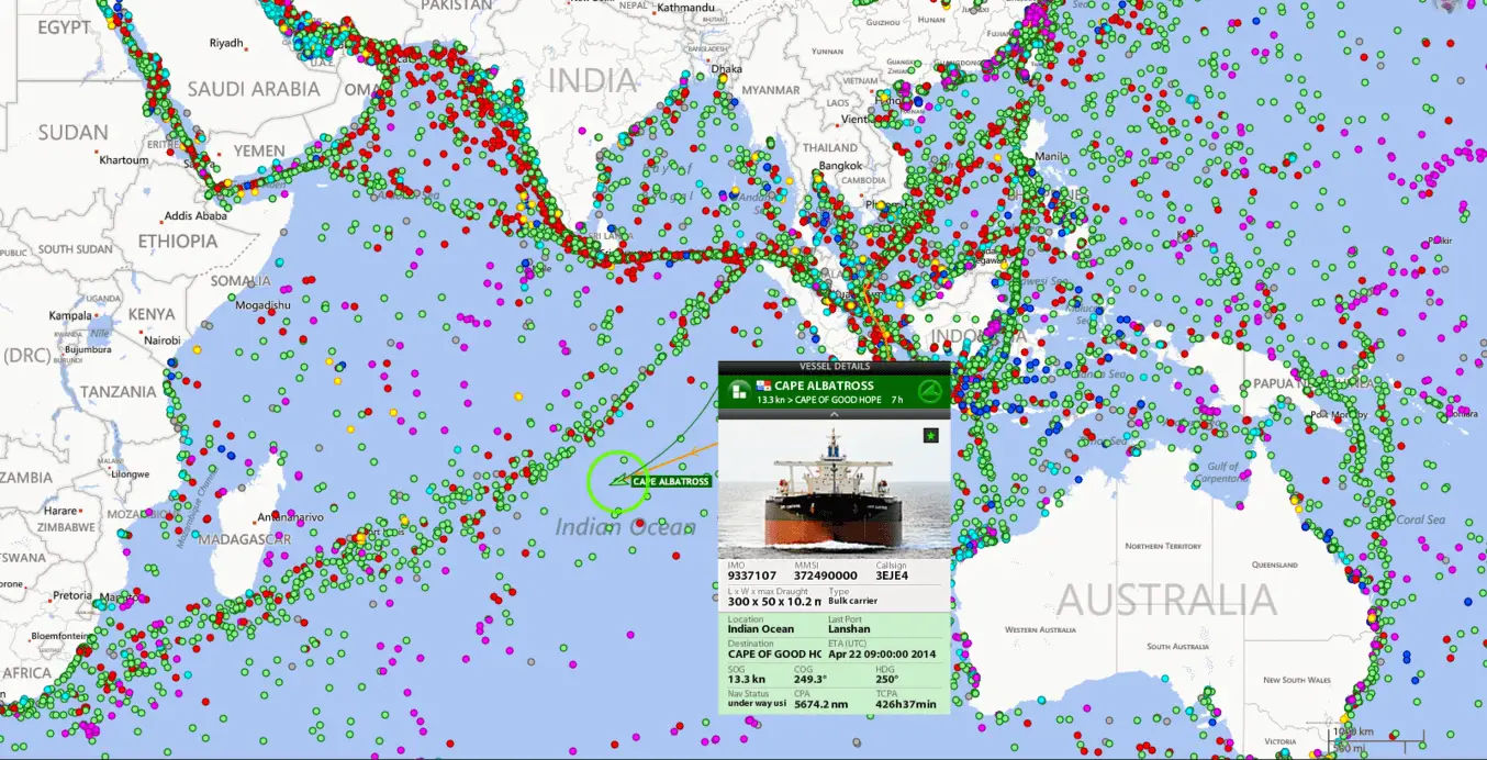
The Shipborne Automatic Identification System (AIS) is a vessel tracking system capable of communicating navigation information automatically between AIS equipped vessels and coastal authorities. It is a collision avoidance system that gives information all the ships in your area, their speed and courses and how to contact them (name, callsign, MMSI). This information is publically broadcast on VHF radio which can be picked up either by other ships or by shore-based receivers.
AIS provides a tool for improved safety and collision avoidance. Since 2004, the International Maritime Organization (IMO) has instituted carriage requirements for vessels affecting both worldwide and local shipping traffic. These carriage requirements apply to commercial vessels subject to the Safety of Life at Sea (SOLAS) convention
The AIS system consists of the following:
- Dedicated Antenna working on VHF frequency
- Receiver and transmitter
- Processor
- Display screen
Principle
AIS is working on the VHF frequency. The data are transmitted by using STDMA (self-organizing time division multiple access).The STDMA uses the precise timing of the GPS signal to synchronise multiple data transmission from many users on a single narrow band channel.
Each ship transmits and receives data from all ships within an area called the CELL of the ship. The size of the cell depend upon the traffic density.
In STDMA, each minute of time is divided into 2250 time slots. Each slot is of 26.67 milliseconds and contains 256 bits of data. The rate, of transmission, is 9600 bits per second.The selection of time slot for a ship is automatic and on a random basis.When a ship enters a cell, the free slot will be occupied by that ship.
To avoid any overlapping, a highly standard time reference is required, which is provided by the GPS.
Working
AIS is fitted with two receivers, one transmitter VHF DSC receiver Standard marine electronic communication link providing the various input data. The AIS transmission uses 9.6 kb GMSK FM over 25 or 12.5kHz channel using HDLC Packet control. Each AIS transmits and receives over two radio channel to avoid interference problems.Each station determines its own transmission slot based on the data link traffic history and knowledge of future actions by other stations.
AIS Message
AIS data falls categories:
a) Static data
b) Dynamic data
c) Voyage related data
d) Safety related data
Static Data:
- IMO Number
- —Call sign and name
- —Length and beam
- —Type of ship
- —Location of position fixing antenna
The static data is sent every six minutes unless changed.
Dynamic Data:
- Ship’s position
- Time in UTC
- Course over ground
- Speed over ground
- Heading
- Navigation status
- Rate of turn
- Angle of heel
- Pitch and Roll
Voyage-related data:
This information is entered manually sent every six minutes.
- Ship’s draft
- Destination and ETA
- Route plan
Safety related messages:
The safety messages are normally sent in the text form and may be directed to one station or various stations and sent only when required.
Purpose
To improve the safety of navigation by assisting in the efficient navigation of ship, protection of the environment, and operation of Vessel Traffic Services (VTS), by satisfying the following functional requirements:
(1) In a ship-to-ship mode for collision avoidance;
(2) As a means for littoral States to obtain information about a ship and its cargo; and
(3) As a VTS tool, i.e. ship-to-shore (traffic management).
Types of AIS
There are two types of AIS. (1) Type ‘A’, (2) Type *B
Class ‘A’ AIS unit broadcasts the following information every 2 to 10 seconds while underway, and every 3 minutes while at anchor at a power level of 12.5 watts. The information broadcast includes:
- MMSI number – unique referenceable identification
- Navigation status – not only are “at anchor” and “under way using engine* currently defined, but “not under command” is also currently defined.
- Rate of turn – right or left, 0 to 720 degrees per minute Speed over ground -1/10 knot resolution from 0 to 102 knots.
- Position accuracy – differential GPS or other and an indication if RAIM processing is. being used Longitude – to 1/10000 minute and Latitude – to 1/10000 minute
- Course over ground – relative to true north ta 1/10th degree
- True Heading – 0 to 359 degrees derived from gyro input
- Timestamp – The universal time to nearest second that this information was generated
- Type of position fixing device – various options from differential GPS to undefined
- Draught of ship -1/10 meters to 25.5 meters [note “air draught” is not provided]
- Destination – 20 characters are provided
- Estimated time of Arrival at destination – month, day, hour, and minute in UTC.
The Class B is nearly identical to the Class A, except the Class B:
Has a reporting rate less than a Class A (e.g. every 30 sec. when under 14 knots, as opposed to every 10 sec. for Class A)
- Does not transmit the vessel’s IMO number or call sign
- Does not transmit ETA or destination
- Does not transmit navigational status
- Is only required to receive, not transmit, text safety messages
- Is only required to receive, not transmit, application identifiers (binary messages)
- Does not transmit rate of turn information, maximum present static draught.


Performance standards
The AIS should be capable of
- providing to ships and to competent authorities, information from the ship, automatically and with the required accuracy and frequency, to facilitate accurate tracking.
- Transmission of the data should be with the minimum involvement of ship’s personnel and
with a high level of availability. - receiving and processing information from other sources, including that from a competent
authority and from other ships; - responding to high priority and safety related calls with a minimum of delay; and
- providing positional and manoeuvring information at a data rate adequate to facilitate
- accurate tracking by a competent authority and other ships.
Functionality
The system should be capable of operating in a number of modes:
- an “autonomous and continuous” mode for operation in all areas. This mode should be
capable of being switched to/from one of the following alternate modes by a competent
authority; - an “assigned” mode for operation in an area subject to a competent authority responsible
for traffic monitoring such that the data transmission interval and/or time slots may be set
remotely by that authority; and - a “polling” or a controlled mode where the data transfer occurs in response to interrogation
from a ship or competent authority
The AIS should comprise:
- a communication processor, capable of operating over a range of maritime frequencies,
with an appropriate channel selecting and switching method, in support of both short and
long range applications; - a means for processing data from an electronic position-fixing system which provides
resolution of one ten-thousandth of a minute of arc and uses the WGS-84 datum.; - a means to automatically input data from other sensors meeting the provisions as specified
for position - a means to input and retrieve data manually;
- a means of error checking the transmitted and received data; and
- a built-in test equipment (BITE).
User Interface
To enable a user to access, select and display the information on a separate system, the AIS
should be provided with an interface conforming to an appropriate international marine
interface standard.
Permissible Initialization Period
The installation should be operational within 2 min of switching on.
Limitation of AIS
- Small crafts may not be fitted with AIS
- AIS might have switched off on other ship
- Erroneous data might have entered
- Accuracy of data received depend on the accuracy of data transmitted
- Error in sensor’s input data,
- Failure of sensors to provide data
- Cell of vessel may be full
Precautions while using AIS in collision avoidance
- AIS is an additional source of navigational information. It does not replace other nav aids Should rely solely on AIS.
- Watches must be kept as per STCW.It does not have any impact on the composition of watch arrangement.
- Swapping of targets.
SOLAS Regulations for carriage of AIS
Regulation 19 of SOLAS Chapter V – Carriage requirements for shipborne navigational systems and equipment – sets out navigational equipment to be carried on board ships, according to ship type. In 2000, IMO adopted a new requirement (as part of a revised new chapter V) for all ships to carry automatic identification systems (AISs) capable of providing information about the ship to other ships and to coastal authorities automatically.
The regulation requires AIS to be fitted aboard all ships of 300 gross tonnage and upwards engaged on international voyages, cargo ships of 500 gross tonnage and upwards not engaged on international voyages and all passenger ships irrespective of size. The requirement became effective for all ships by 31 December 2004.
Ships fitted with AIS shall maintain AIS in operation at all times except where international agreements, rules or standards provide for the protection of navigational information.
A flag State may exempt ships from carrying AISs when ships will be taken permanently out of service within two years after the implementation date. Performance standards for AIS were adopted in 1998.
The regulation requires that AIS shall:
- provide information – including the ship’s identity, type, position, course, speed, navigational status and other safety-related information – automatically to appropriately equipped shore stations, other ships and aircraft;
- receive automatically such information from similarly fitted ships; · monitor and track ships;
- exchange data with shore-based facilities.
The regulation applies to ships built on or after 1 July 2002 and to ships engaged on international voyages constructed before 1 July 2002, according to the following timetable:
passenger ships, not later than 1 July 2003;
- tankers, not later than the first survey for safety equipment on or after 1 July 2003;
- ships, other than passenger ships and tankers, of 50,000 gross tonnage and upwards, not later than 1 July 2004.
- An amendment adopted by the Diplomatic Conference on Maritime Security in December 2002 states that, additionally, ships of 300 gross tonnage and upwards but less than 50,000 gross tonnage, are required to fit AIS not later than the first safety equipment survey after 1 July 2004 or by 31 December 2004, whichever occurs earlier. (The original regulation adopted in 2000 exempted these vessels.)
Kindly send tutorials to enable me updates in my lecturing programmes.