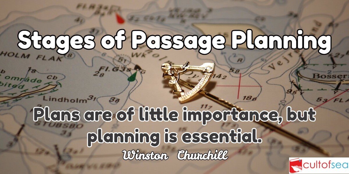
When the Master gets the nomination of the next port, he communicates this information to the navigating officer of the ship. On hearing this, how the navigating officer proceeds to plan the passage, is precisely the coverage of this article.Research into shipping casualties has shown that the most important contributing factor is that of human error, 85% to be more precise.Among the recommendations for improving this situation is one for passage planning. A good passage planning means taking the vessel from A to B in the safest and shortest way. The concept of passage planning is not … [Read more...]
Archives for November 2015
AIS (Automatic Identification System)
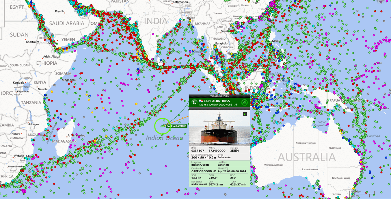
The Shipborne Automatic Identification System (AIS) is a vessel tracking system capable of communicating navigation information automatically between AIS equipped vessels and coastal authorities. It is a collision avoidance system that gives information all the ships in your area, their speed and courses and how to contact them (name, callsign, MMSI). This information is publically broadcast on VHF radio which can be picked up either by other ships or by shore-based receivers. AIS provides a tool for improved safety and collision avoidance. Since 2004, the International Maritime Organization … [Read more...]
Doppler Log – Principle, Working, Speed and Errors
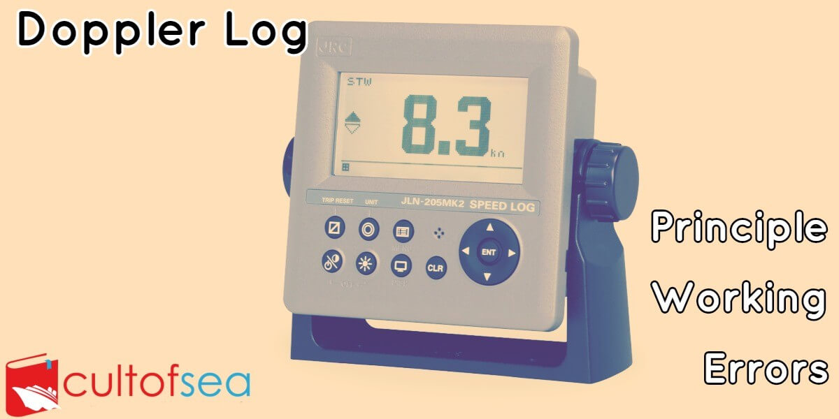
Doppler log is an instrument, used in ships, to measure ship's relative speed with water (in which it is travelling) by the use of Doppler effects on transmitted/reflected sound waves.PrincipleDoppler log is based on the principle of Doppler shift in frequency measurement i.e. apparent change in frequency received when the distance between source and observer is changing due to the motion of either source or observer or both. In Doppler log an observer is moving with a source of sound towards a reflecting plane, then the received frequency. By measuring the received frequency and … [Read more...]
Echo Sounder – Principle, Working & Errors

One of the dangers faced by a ship is that of running aground. Usually, a vessel determines its position by means of GPS, Radar, Decca, Loran or visual bearings. The depth of water is checked from the echo sounder just as a matter of routine to see that the depth obtained matches with that show on the chart. However when the position is not accurately known while approaching the port, or crossing over a bar, or near the mouth of a river, or in a poorly surveyed area, the under-keel clearance and depth of water needs to be known. The echo sounder comes in handy in such situation.An Echo … [Read more...]
GPS (Global Positioning System)
A network of satellites that continuously transmit coded information, which makes it possible to precisely identify locations on earth by measuring the distance from the satellites. As stated in the definition above, GPS stands for Global Positioning System and refers to a group of U.S. Department of Defense satellites constantly circling the earth. The satellites transmit very low power radio signals allowing anyone with a GPS receiver to determine their location on Earth The 3 Segments of GPS The NAVSTAR system (the acronym for Navigation Satellite Timing and Ranging, the official U.S. … [Read more...]
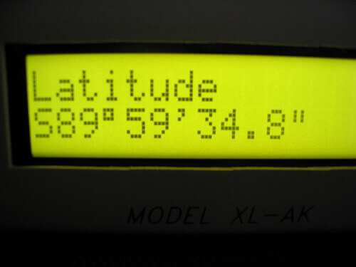
Marine Sextant – Principle and Errors
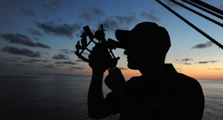
A sextant is merely an instrument that measures the angle of a heavenly body (star, planet, sun and moon) makes with the visible horizon or the vertical or horizontal angle between two terrestrial objects. It derives its name from the arc at the bottom which is one-sixth of a circle. The principles of a sextant are easy to master but its use requires some skill and practice. Small errors make for large discrepancies in one's position.The trick is to make the celestial body just brush the horizon by a sweeping motion by the wrist - and herein lies somewhat of a knack. The principle of … [Read more...]
Ship’s Routeing – Organize and Improve Shipping Movement
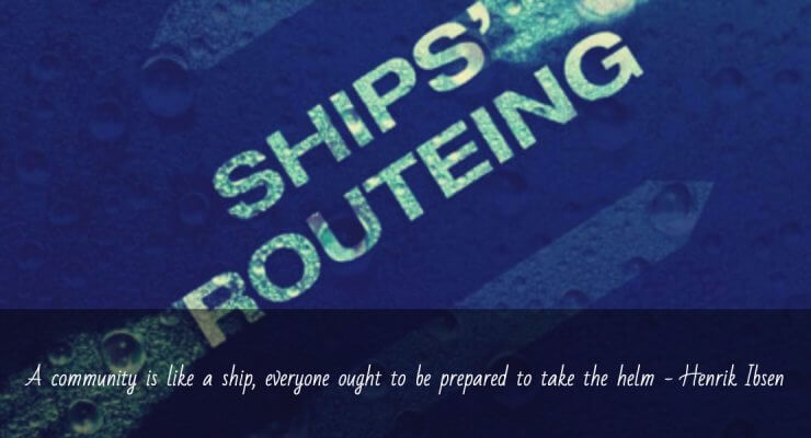
The Purpose The purpose of ship's routeing is to improve the safety of navigation in converging areas and in areas where the density of traffic is great or where freedom of movement of shipping is inhibited by restricted sea room, the existence of obstruction to navigation, limited depths or unfavorable meteorological conditions. Objective: The objectives of any routeing system will depend upon the particular hazardous circumstances which it is intended to alleviate, but may include some or all of the following:1. The separation of opposing streams of traffic so as to reduce the … [Read more...]
Using Magnetic compass in Polar Regions
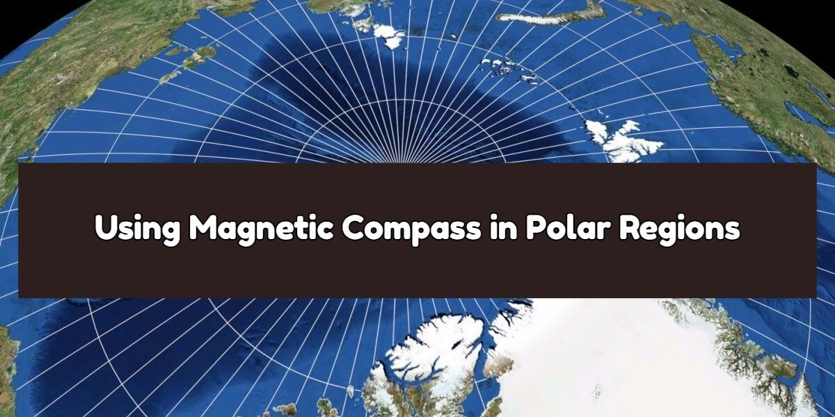
Why is magnetic compass useless in higher latitude or Polar Regions? The magnetic compass depends on the horizontal component of the magnetic field of the earth. As the north magnetic pole is approached in the Arctic, the horizontal component becomes progressively weaker until at same point. The magnetic compass becomes useless as a direction measuring device. The magnetic compass will not settle unless the ship remains on the same heading for a prolonged period, so it can be considered almost useless anywhere north of Lancaster Sound.So is it possible to use a magnetic compass in higher … [Read more...]
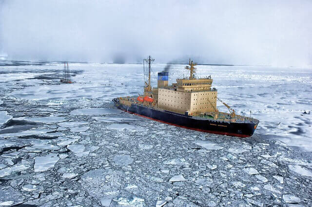
Passage Planning in or near ice limit
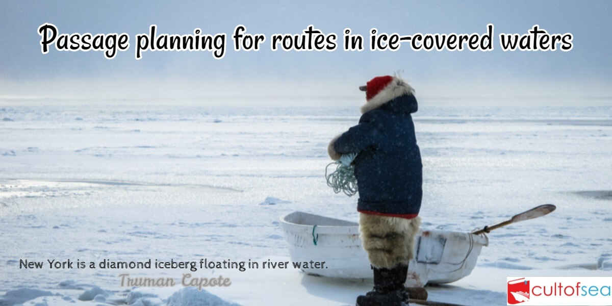
Passage planning for routes in ice-covered waters is based on standard navigational principles for passage planning(International Maritime Organization Resolution A. 893(21) adopted on 25 November 1999, Guidelines For Voyage Planning.Passage planning takes place in two phases:Strategic, when in port or in open water Tactical, when near or in ice-covered watersStrategic Phase Appraisal The procedure involves the use of all information sources used in open water passage planning, plus any others that can be obtained to give a complete picture of the ice conditions possible. … [Read more...]
Precautions while Entering and Navigating within Ice Limits
Precautions you will take while entering ice limit:The route recommended by the Ice Superintendent through the appropriate reporting system i.e. ECAREG or NORDREG, is based on the latest available information and Masters are advised to adjust their course accordingly. Do not enter ice if an alternative, although longer, open water route is available. Enter the ice at low & speed to receive the initial impact: once into the pack. Increase speed gradually to maintain headway and control of the ship, but do not let the speed increase beyond the point at which she might suffer … [Read more...]